

March 2025
Event details








Event Description
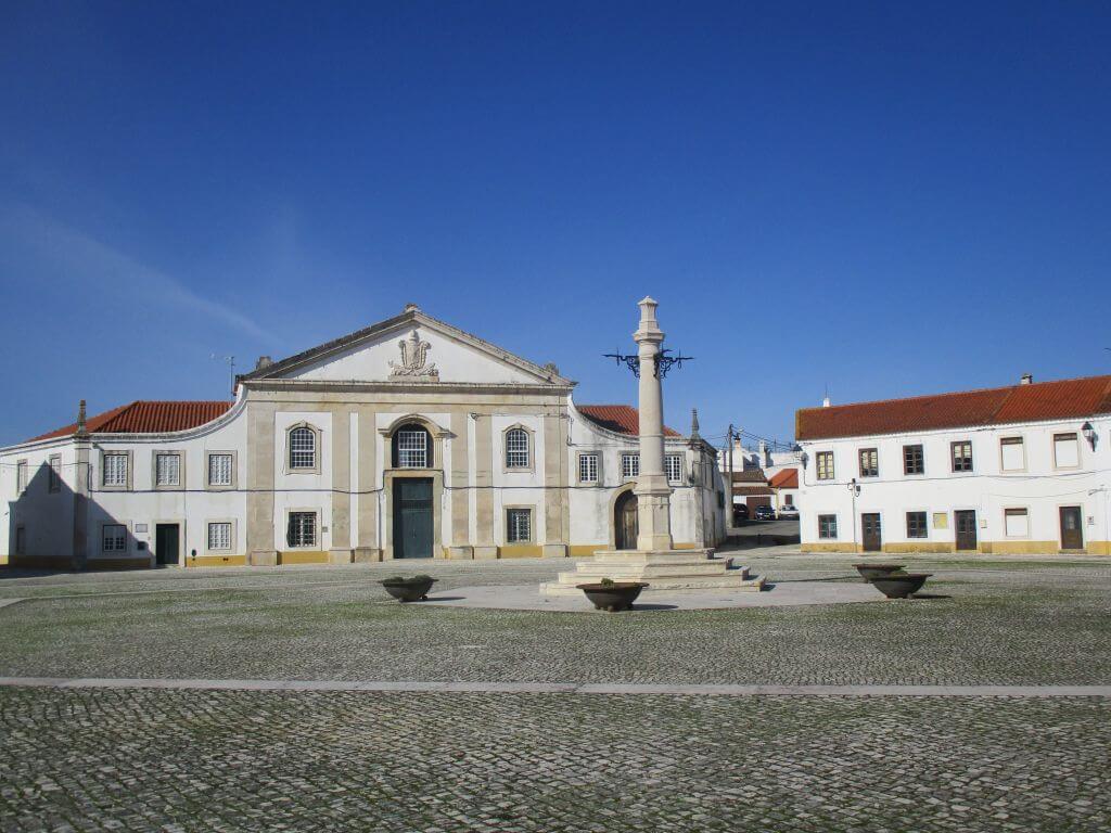
This proposed walk takes in the lands of Maçussa bread, with the suggestion of a short stroll through Paul Natura and Manique do Intendente, with highlights including the Palace, Praça dos Imperadores and Pelourinho. Another event not to be missed!
Maçussa - Land of bread
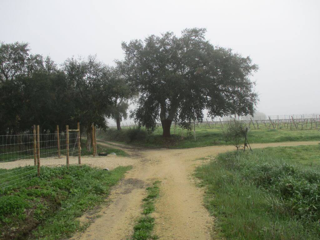
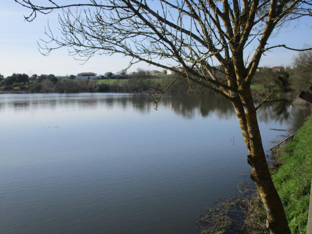
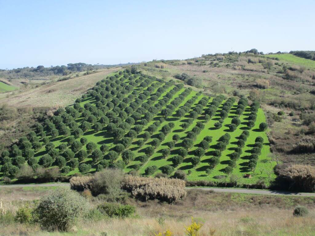
Along our route, which starts near the local parish council, we'll pass through the Vale Lobos area, between some ponds, small lakes in the middle of the land and head towards a pleasant picnic area, after Catujeiras. We continue on towards Vale da Guerra and an area where there are many vineyards, with the Serra de Montejunto on the horizon.
Surrounded by all this beauty, we continue towards Casal Almeida, Mosqueireira, Achadas, Valadas, Ponte dos Coices and Casal do Coelho, re-entering the village of Maçussa, not before climbing up to the Mill that dominates the surrounding landscape, providing an excellent postcard of all the surroundings.
Paul Natura
In the northern part of the municipality of Azambuja is the Ribeira do Judeu, which belongs to the network of tributaries of the River Tagus. This stream, which has carved its valley from west to east over thousands of years, joins the Maçussa stream about 3 kilometres downstream. Running through a valley with asymmetrical slopes, the Ribeira do Judeu is contained to the south by a steeper slope that belongs to a group of hills no higher than 110 metres, contrasting with the more gently sloping northern slope where the tops of the hills are no higher than 70 metres. Winding through its valley, with its bottom at around 35 metres above sea level, the Judeu stream perpetuates its erosive work, excavating materials of varying ages and compositions.
In the Manique do Intendente area, this valley widens and has a flatter bottom, allowing the river to flood these two banks over thousands of years (alluvial floodplain), creating a wetland where the land remains waterlogged for most of the time. Water from the Ribeira do Judeu accumulates in this depression, as does water from the springs that flow from the limestone surrounding the valley. The permanent availability of water has allowed the establishment of vegetation typical of palustrine areas, making these soils very rich in organic matter - thus the PAUL was born.
Some of the points of interest on the walk
- Mill (16th century) - Ribeira da Maçussa - Chapel of Santo António - Fonte da Bica - Paul - Charca - Picnic Park - Vale Lobos - Manique do Intendente - Praça dos Imperadores - Pelourinho - Paul Natura - Bird Observatory - Walkways - Natural landscapes -
Location
Meeting Point
School Street,
2065-607 Maçussa
Latitude: 39°11'46.02″N
Longitude: 8°52'7.76″W
Meeting time: 9h30
Estimated end time: 14h45
Route Features and Equipment
Circular
Circuit
Equipment
Footwear and clothing suitable for hiking