

March 2024
Event details














Event Description
The aim of this walk is to cover a total of 143 kilometres along the Caminhos de Fátima - Rota do Tejo, between Parque das Nações in Lisbon and the Sanctuary of Fátima, in 5 stages! Another event not to be missed!
9th March - Stage 1 ( Lisbon - Vila Franca de Xira) - 33 kms
23 March - Stage 2 (Vila Franca de Xira - Azambuja) - 19 kms
13th April - Stage 3 (Azambuja - Santarém) - 33 kms
27th April - Stage 4 ( Santarém - Monsanto) - 30 kms
11 May - Stage 5 ( Monsanto - Fátima) - 28 kms
REGISTRATION UNTIL 31ST JANUARY
IMPORTANT NOTES:
1 - This event takes place with a minimum of 12 people.
2 - The first 3 stages always allow you to return to the meeting point using the train
3 - In case of interest, the organisation will take care of logistics in the last stages to ensure the return to the starting point (with possible additional costs to be shared between the participants).
Stage 1 - The Tagus Estuary
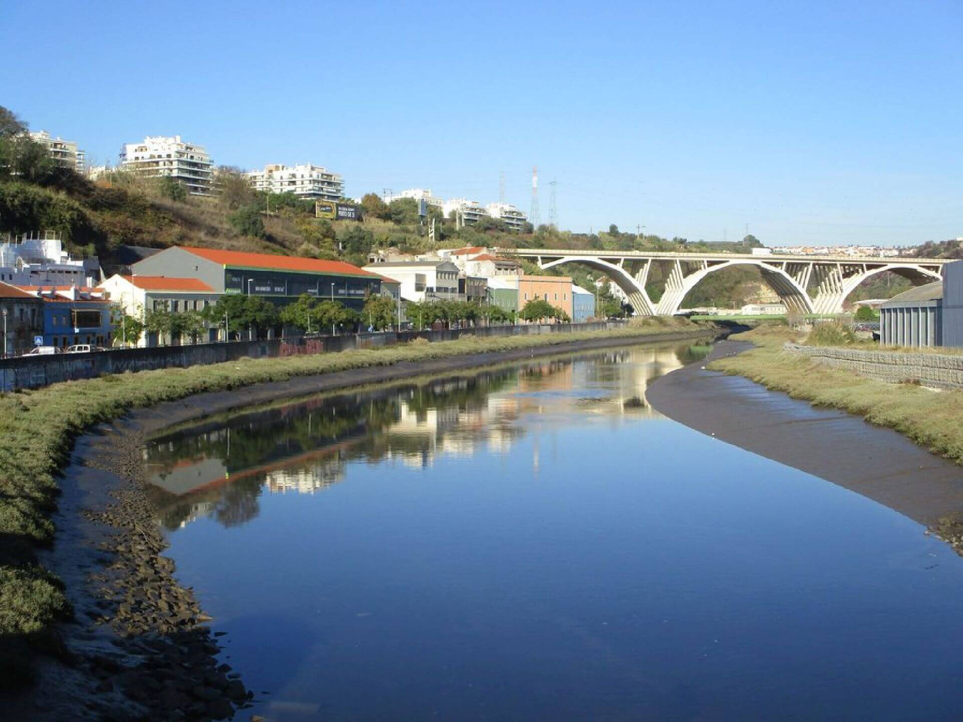
This first day of the Way is set against a backdrop of the incomparable beauty of the Tagus estuary landscape, where the water is populated by mouchões or small islands and the tributaries and riverbanks form the stretches that cut out the banks. On the riverfront, the floodplains predominate, where the villages are revealed and the natural eco-system of varied fauna and traditional flora is maintained. The hillsides form a natural frame, with centuries-old olive trees, where the houses are dotted with old farms and where churches, chapels and fountains stand. This journey has exclusively pedestrianised sections and mixed sections.
Stage 2 - Esteiros and Valadas
To the east, the route is framed by the characteristic landscape of the Lezíria do Tejo, furrowed by steep slopes and valleys, where ash trees and reeds grow. To the west, the frame is drawn by the mountain ranges, where pine and cork trees emerge.
Throughout this stage, nature and landscape surround us. We can even walk along part of the Carregado Ditch, as well as the Royal Ditch of Azambuja, where the proximity of the water is striking. But the historic urban landscape is also something to behold, namely the centres next to the old farms and the built cultural heritage of the villages and towns, such as Vila Nova da Rainha and Azambuja, where the churches and cultural facilities are essential landmarks.
Stage 3 - Through the Lezíria
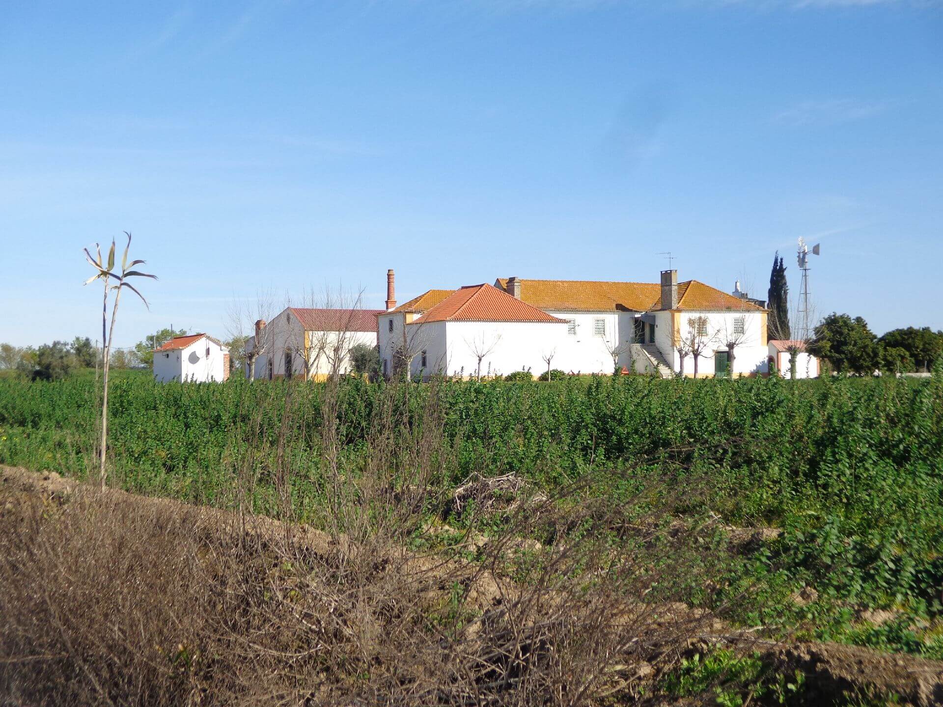
The Way continues through the Lezíria do Tejo, a territory where plains are predominantly bathed by the water that irrigates and encourages agriculture in the fertile fields. This alluvial plain landscape is often compartmentalised by hedges made up of indigenous species.
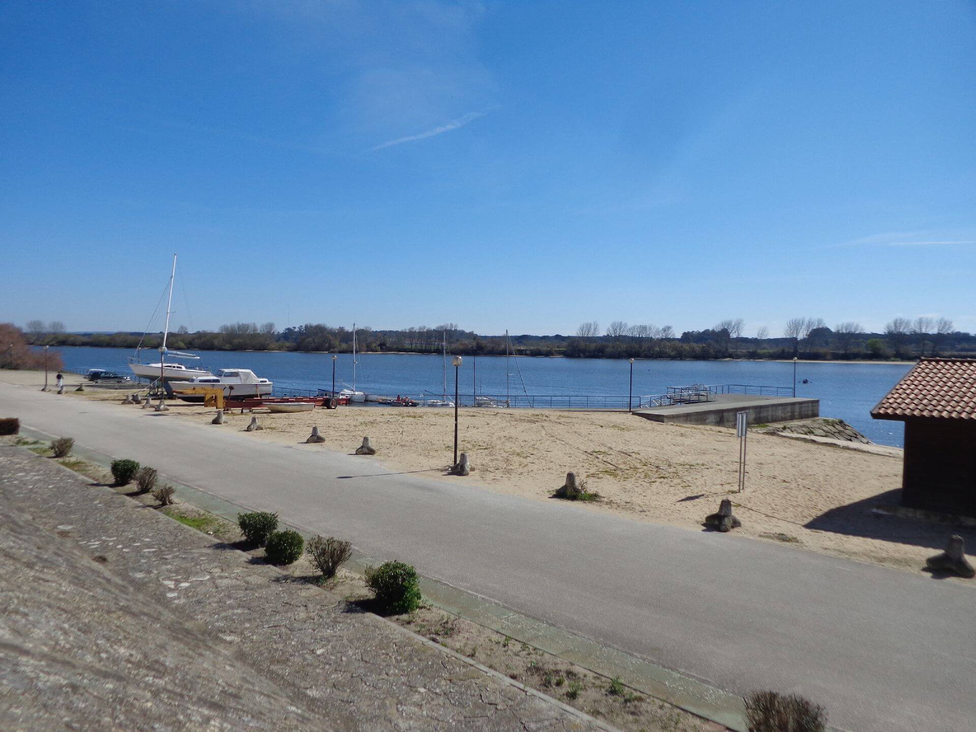
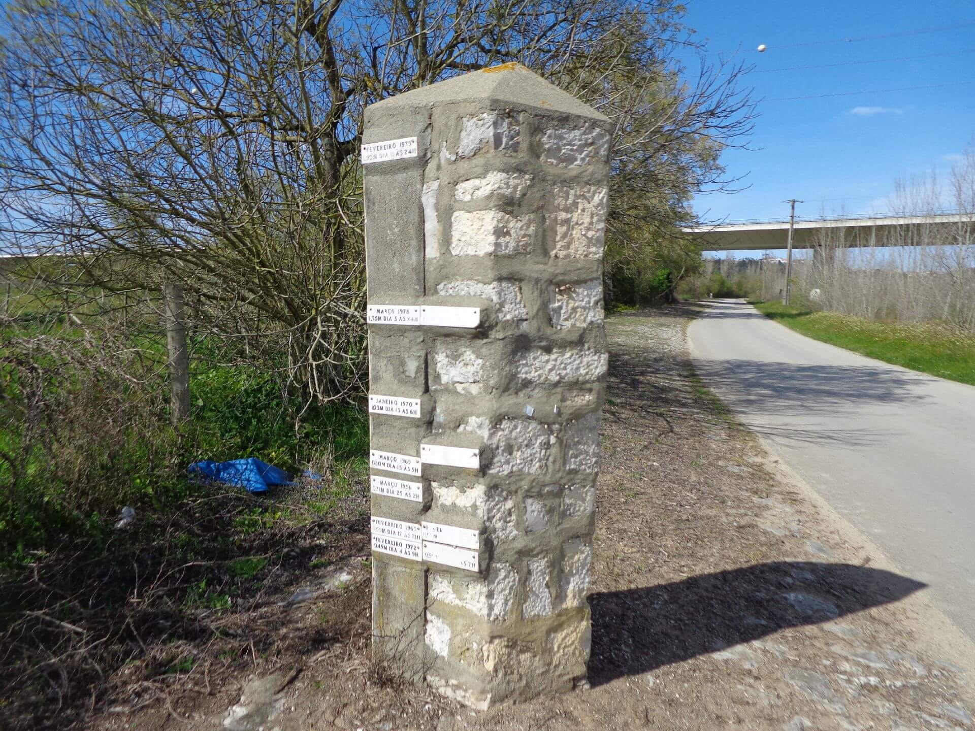
Pleasant river beaches can be found along the banks of the river, where leafy ash trees shade the banks. The historical cyclical phenomenon of floods altering the banks of the river and its tributaries and giving rise to the construction of dykes gives character to many villages and places, such as Valada do Ribatejo, Reguengo do Alviela and Porto de Muge.
Stage 4 - In the Shade of Olives
This is an extensive and intense journey and gives the Way a new sense of geographical orientation, as it turns towards the mountainous territory of the karst massif, where the Serras de Aire e Candeeiros Natural Park is located. We therefore suggest that you divide your journey into five sections, with stops in between.
The Serra de Santo António plateau marks the transition to this area of steep slopes, with mountain ranges and cliffs, deep valleys and small agricultural pits. This is also the ancestral territory that separates and connects the river plains of the Tagus to the coast.
Stage 5 - Through the Aire and Candeeiros Mountains
The Way now continues through the Serras de Aire e Candeeiros. In this scenery, along deserted mountain ranges, small agricultural pits or even lairs emerge, on the slopes of which settlements were formed.
In this rural environment, agriculture and traditional pastoralism also mark the humanised landscape with the traditional stone walls that limit properties and protect flocks and herds, as well as the unexpected shepherds' shelters built entirely and by hand from stone.
Nature is always dominant, with its natural forms and configurations, especially the well-known caves and limpets, but also the unusual fields of lapiaz or the steep slopes of Mira-Minde.
The progressive approach to Fátima is marked by the contrast between traditional rurality and the expression of urbanity that the construction of the Sanctuary naturally generated. The city of Fátima, in keeping with historical tradition in Portugal, is the only urban centre formed in the 20th century near a place of worship and pilgrimage.
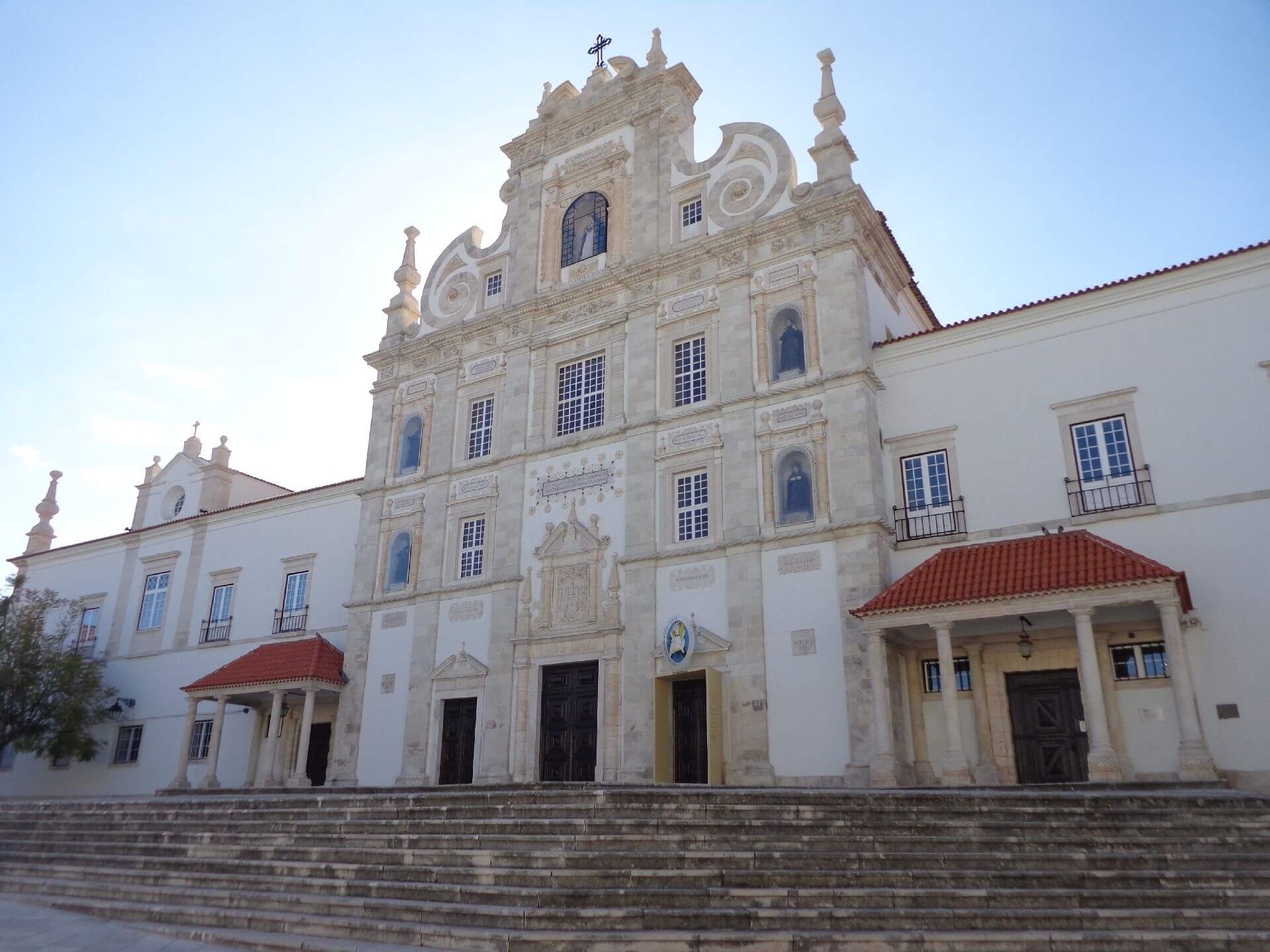
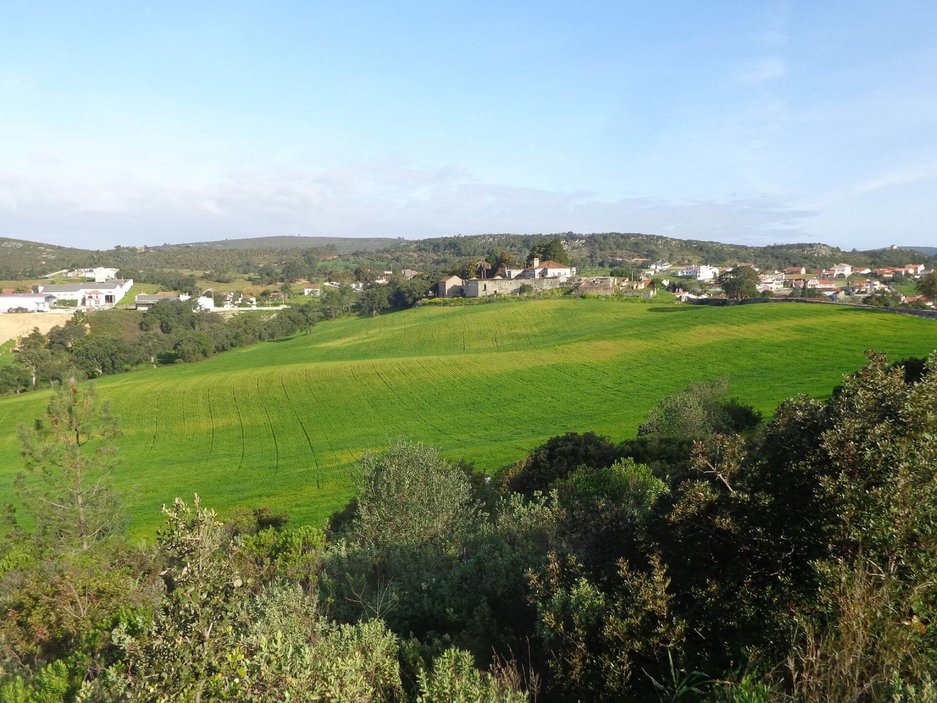
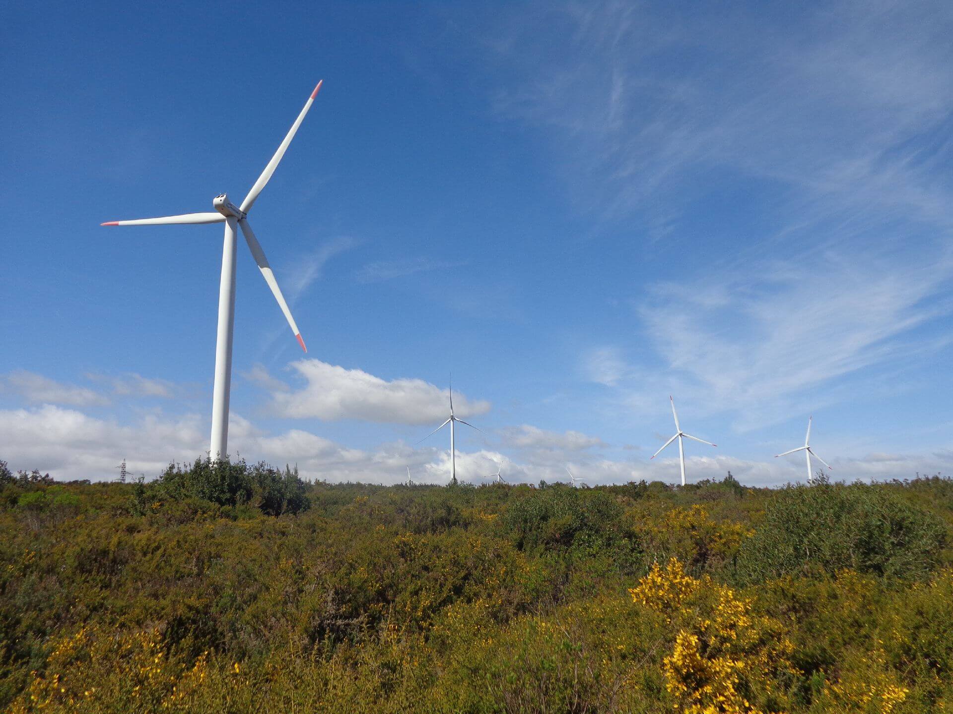
Some of the points of interest on the walk
- Paths to Fatima - The Tagus Route - Natural landscapes over the Tagus River and the Lezírias -
Location
Meeting Point
Vila Franca de Xira Station
2600 Vila Franca de Xira
Latitude: 39°27’40.10″N
Longitude: 8°42’46.69″W
Meeting time: 8h 50m
Estimated end time of the event: 14h
Route Features and Equipment
Linear
Circuit
Equipment
Footwear and clothing suitable for hiking