

March 2026
Event details







Event Description
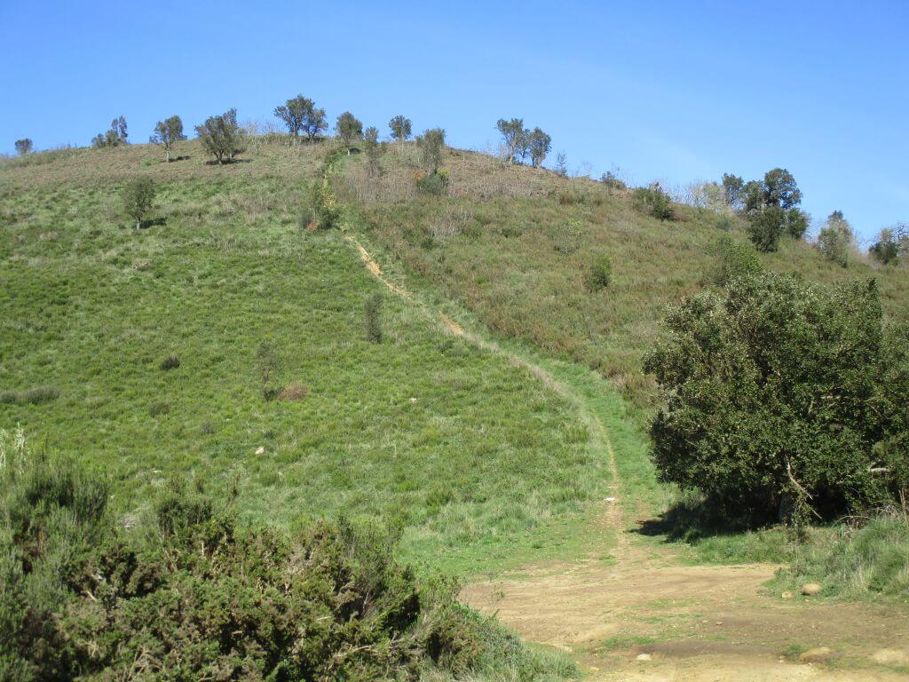
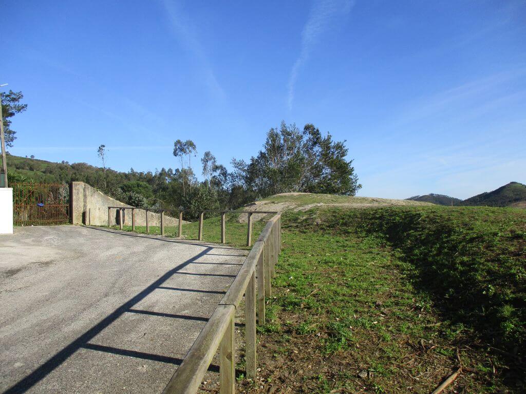
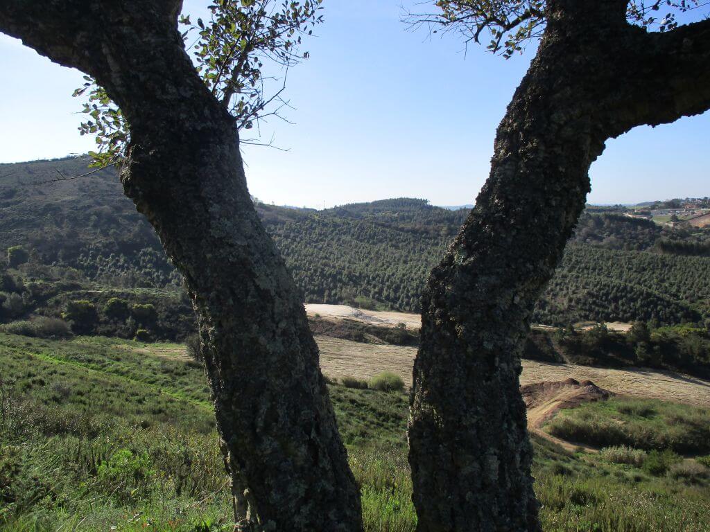
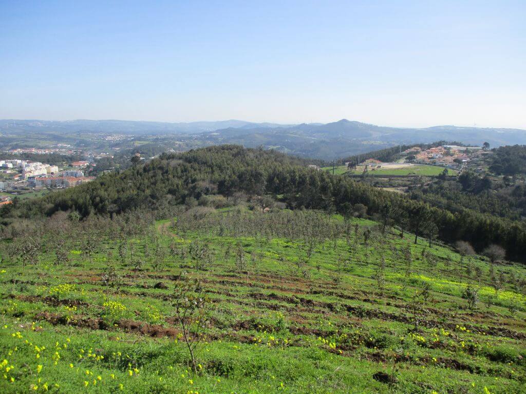
This hike will allow us to get to know Malveira better, not just the famous "Trouxas" but also the surrounding green landscapes, where we can't miss the climb to two elevations, one of them more than 420 metres high, where we'll have a perfect 360º view of all the surroundings, from the south bank to the Serra de Sintra, Serra do Socorro and the coastline. We'll also get to know the Feira Fort and the Mata Park. Another event not to be missed!
The Fort of Feira
To protect Lisbon from the 3rd Napoleonic Invasion, the Anglo-Portuguese forces established a structured defence system around the kingdom's capital that included two defensive lines linking the Atlantic Ocean to the River Tagus, totalling 152 military works built between 1809 and 1811. The Feira Fort is part of the second Defence Line, and is part of a group of Lines with one of the highest numbers of redoubts, positioned to defend the Torres - Lisboa; Mafra - Lisboa roads.
Located in the town of Malveira, the Malveira Fort took its name from the fair established by King Maria I on 25 March 1783. When the Fort da Feira was built, the urban centre was restricted to an area next to the chapel of Nossa Senhora dos Remédios, but the area next to where the fort was built was frequently visited for the fair. This stronghold was equipped with four fire hydrants and a garrison of 350 men
The Malveira fair
As Malveira was geographically situated in a privileged location, it was naturally at the centre of the national road built between Lisbon and Torres Vedras and the connection point between the latter and the district of Mafra. Later, with the creation of the Oeste railway line, Malveira station became a reference point for this line. Malveira's central position proved attractive for farmers and livestock breeders to commercialise their produce which, in the end, was an important element in feeding the capital's population, making it known as the capital of the Saloia region. As a result, Maria I authorised the holding of Malveira's annual fair on 14 December 1782, which would later also be held weekly on Thursdays. The success of the Malveira fair aroused the spite of the Ribatejo locals who wanted the fair to be moved to a locality in their region, but the level reached in Malveira prevented the kingdom's authorities from validating this claim.
Some of the points of interest on the walk
- Forte da Feira - Jardim da Mata Paroquial - Hills and valleys of Malveira - Toca da Raposa trail - Natural landscapes -
Location
Meeting Point
Malveira Parish Council
Church Square,
2665-248 Malveira
Latitude: 38°55'59.54″N
Longitude: 9°15'30.05″W
Meeting time: 9.20am
Estimated end time: 14h00
Route Features and Equipment
Circular
Circuit
Equipment
Footwear and clothing suitable for hiking