

April 2023
Event details




Event Description
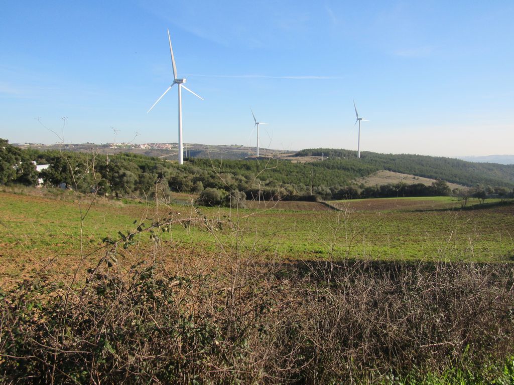
The aim of this walk is to get to know an area that is still very rural, on the doorstep of Lisbon, and to pass through some of the most significant heritage sites in the municipality of Loures: the Antas de Carcavelos, Salemas and Casaínhos. We also took the opportunity to discover the Salemas Cave. In addition to these attractions, our walk also takes in part of the route of the 2nd defensive line of Torres Vedras, with a visit to the Mosqueiro Fort, not forgetting the climb to the Cabeço de Montachique viewpoint at 449 metres above sea level. Another walk not to be missed!
To whet your appetite, we'll show you some of the most emblematic crossing points on a route with a few challenges, such as the climb to the Cabeço de Montachique viewpoint and the Anta do Alto da Toupeira or Salema.
Carcavelos Dolmen
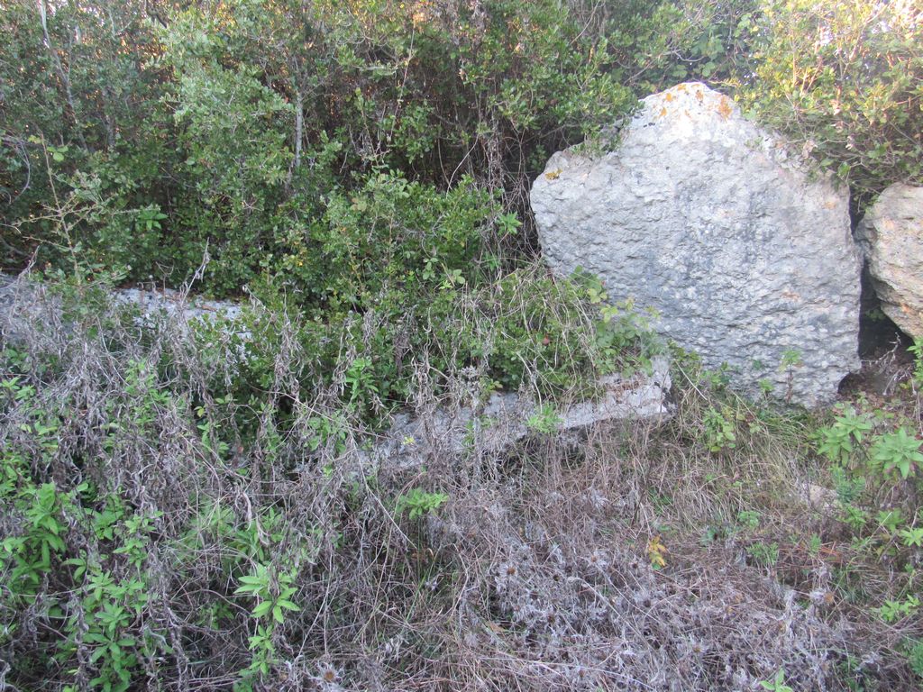
The Anta de Carcavelos is a megalithic mass grave made up of a polygonal burial chamber. It is located in a predominantly rural area of the parish of Lousa, near the village of Carcavelos and is one of the best preserved prehistoric remains in the municipality of Loures, partly due to its isolation.
The monument is made up of six limestone pillars from the region, five of which would be part of the chamber and the sixth would belong to the corridor. Next to the monument there are also some limestone slabs, one of which is large and could have been the dolmen's roof.
The studies carried out in 1994 resulted in the collection of a wide range of artefacts, including polished instruments such as arrowheads, plain and decorated ceramics, plates, ornaments and other artefacts.
Salemas Cave
The Salemas Cave, discovered in the 1950s, is a winding corridor, around 30 metres long and one metre wide on average, which ends in a small underneath. Near the entrance to the cavity, the rocky floor shows various pits and fractures that were filled with terra rossa (limestone and basalt), prehistoric industries (from the upper Palaeolithic) and bones of Quaternary fauna: bears (Ursus arctos and Ursus spelaeus), cats (Felis pardus and Felis pardina), Hyena (Hyaena croata spelaea), Wolf (Covis lupus). Horse (Equus caballus), etc. The paucity of utensils found indicates that the Salemas Cave must never have served as a permanent dwelling: initially (in the Palaeolithic period) it was a temporary dwelling and later (in the Neolithic period) a necropolis.
Some of the points of interest on the walk
- Lousa Mother Church - Carcavelos Dolmen - Encosta da Saúde - Alto da Toupeira or Salema Dolmen - Salema Cave - Casaínhos Dolmen - Mosqueiro Fort - Cabeço de Montachique Viewpoint - Grandella Sanatorium Ruins - Natural landscapes - Mills -
Location
Meeting Point
Lousa Parish Church
Latitude: 38°53'22.45″N
Longitude: 9°12'23.53″W
Meeting time: 9h20
Estimated end time: 14h45m
Route Features and Equipment
Circular
Circuit
Equipment
Footwear and clothing suitable for hiking