

September 2026
Event details






Event Description
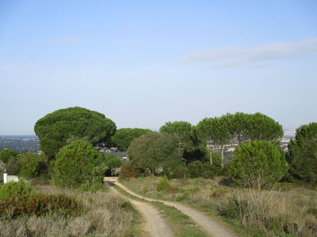
This walk will allow us to get to know an impressive area of the Arrábida Natural Park, from Vila Nogueira de Azeitão, via the cliff trail and the Alambre valley. Continuing our route, we'll walk along tracks and roads between numerous farms nestling in the Picheleiros Valley, accompanied by the elevation known as the Moorish castle, north of Pico do Formosinho, which may have been the first Bronze Age settlement identified in Arrábida. Another event not to be missed!.
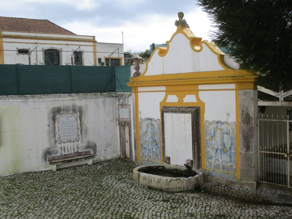
Pasmados Fountain
According to tradition, the fountain came to be known by this name, due to the astonishment, the admiration, that its contemplation caused. It is indeed admirable, to the point of being considered the ex-libris of Vila Nogueira de Azeitão, with the central façade of José Maria da Fonseca's cellars honouring it in this capacity.
Church of St Lawrence
The Church of São Lourenço is a 16th century church with a very simple exterior, exemplifying the sober style often found in rural environments. Over the centuries there have been some architectural and decorative changes, especially after the 1755 earthquake. The interior is lined with 18th century tile panels depicting religious scenes from the Old Testament. One of the panels still dates from the 16th century and probably belongs to the original decoration. On the side walls, there are two 17th century panels depicting scenes from the life of St Lawrence, the patron saint of the church.
Noteworthy is the decoration of the chancel with the polychrome marble altar from the Serra da Arrábida and the 17th-century gilded woodcarving altarpiece with a canvas depicting the Last Supper.
Chapel of St Mark - Oleiros
Oleiros is a very old village. The name of the village is related to the existence of a small pottery where the town was built. The Chapel of St Mark has a 17th century carving that has never been gilded and there are also some vestments from that period.
Moorish Castle
O “he ”fortified hill“ of the Moorish Castle, also known at the end of the 19th century as the ”Moorish Game", was the first Bronze Age settlement identified in Arrábida, and was probably the most imposing and impregnable from a defensive point of view, both in terms of utilising the natural conditions and the defensive structures built. It may have been built as a fortified site for the oldest and most uncultivated inhabitants of the Arrábida peninsula.
Implemented in Alvide hill or Olivide, it is an «elevated site, on a ridge, difficult to access, with excellent natural defence conditions, located on the northern slope of the Serra da Arrábida». The settlement stands on a limestone spur «with an asymmetrical profile, delimited to the south by a vertical wall that reaches several metres in height and, to the north, by a slope of bare rock, very steep». The current access to the Moorish Castle probably maintains the route of one of the protohistoric accesses.
Also noteworthy is a well located next to the south entrance, with a slightly oblique profile, partially filled in and still some 7/8 metres deep, as well as an open karst cavity at the base of the wall, which is a natural element with suggestive symbolic potential.
The Moorish Castle perfectly materialises the warrior ideology of its builders, imposing itself as a conspicuous landmark in the northern landscape of Arrábida, towering over the fields of Azeitão and “dominating” the landscapes of Risco. A remarkable constructive investment, so far unrivalled in Arrábida.
Some of the points of interest on the walk
- Praça da República - Chafariz dos Pasmados - Vale do Alambre - Picheleiros - Sopé da Serra da Arrábida - Igreja de S. Marcos - Natural landscapes -
Location
Meeting Point
Republic Square in Vila Nogueira de Azeitão
Latitude: 38°31’7.47″N
Longitude: 9° 0’50.46″W
Meeting time: 9.20am
Estimated end time: 14h00
Route Features and Equipment
Circular
Circuit
Equipment
Footwear and clothing suitable for hiking