

Rio da Mula Dam car park
Events at this location
November
Timetable
(Sunday) 9:30 - 13:30
Meeting Point
Rio da Mula Dam car park
Event details
[fusion_builder_container admin_label="" hundred_percent="no" equal_height_columns="no" menu_anchor="" hide_on_mobile="small-visibility,medium-visibility,large-visibility" class="" id="" background_color="" background_image="" background_position="center center" background_repeat="no-repeat" fade="no" background_parallax="none" enable_mobile="no" parallax_speed="0.3" video_mp4="" video_webm="" video_ogv="" video_url="" video_aspect_ratio="16:9" video_loop="yes" video_mute="yes" video_preview_image="" border_color="#ea1717" border_style="solid" margin_top="10px" margin_bottom="10px" padding_top="25px"
Event details


Event Description
In this event we will set off in search of an old aqueduct full of history, lost in the heart of the Sintra mountains. The walk begins at the Rio da Mula Dam, climbing along tracks and roads to the vicinity of the Alvante Rock. It then continues along unfrequented trails to the ruins of the Tapada do Saldanha house and from there to the Tapada da Fonte Velha and its aqueduct, a building that appears to us, completely unexpectedly, in the middle of a trail almost closed off by acacia trees, a setting that almost reminds you of that of an adventure film. The return to the starting point of this walk is via a long, almost continuous descent, punctuated by one or two more challenging points along the way. Another event not to be missed!
Rio da Mula Dam
This dam was designed in 1963 by engineer Ressano Garcia and built by Cascais Municipal Council in 1969 to supply water to the municipality. It has a support wall 18 metres high and 192 metres wide, a flooded area of 45,000 m2 and a capacity to store 23,000,000 m3 of water.
The Rio da Mula has its source near Casal dos Porqueiros and Matos Piedade, close to Tapada do Saldanha. It is 27 kilometres long and near Cascais it takes on the name of Ribeira das Vinhas, and then flows into Praia da Ribeira.
Some of the points of interest on the walk
- Rio da Mula Dam - Tapada do Saldanha - Penedo do Alvante - Tapada da Fonte Velha - Fonte Velha Aqueduct - Natural landscapes -
Location
Meeting Point
Parque de estacionamento da Barragem do Rio da Mula Estrada Municipal 1335 – Malveira da Serra
Latitude: 38°45'53.03″N Longitude: 9°25'17.23″W
Meeting time: 9.30am Estimated end time: 13h30
Route Features and Equipment
Circular Circuit
Equipment
Footwear and clothing suitable for hiking
RESERVE
REGISTER NOW
10€ per person
Includes:
- Guidance and support
- Personal accident insurance
- Civil liability insurance
Not included:
- All items not mentioned.
Comments:
- Only registrations made by 4.30pm on the day before the event will be eligible for Personal Accident Insurance.
- PLACES WILL BE FILLED WHEN PROOF OF PAYMENT IS RECEIVED
Data collection:
Personal information Name, date of birth and VAT number are required for personal accident insurance purposes.
Book:
After successfully submitting the bookingYou will be redirected to a confirmation page. If you have any difficulties making a booking, please contact contact us.
Registration Form
"*" indicates required fields
15Nov9:3014:00Walking from Carrasco to Monge9:30 - 14:00 Rio da Mula Dam car parkEvent type:Hiking
Timetable
(Sunday) 9:30 - 14:00
Meeting Point
Rio da Mula Dam car park
Event details
[fusion_builder_container admin_label="" hundred_percent="no" equal_height_columns="no" menu_anchor="" hide_on_mobile="small-visibility,medium-visibility,large-visibility" class="" id="" background_color="" background_image="" background_position="center center" background_repeat="no-repeat" fade="no" background_parallax="none" enable_mobile="no" parallax_speed="0.3" video_mp4="" video_webm="" video_ogv="" video_url="" video_aspect_ratio="16:9" video_loop="yes" video_mute="yes" video_preview_image="" border_color="#ea1717" border_style="solid" margin_top="10px" margin_bottom="10px" padding_top="25px"
Event details







Event Description
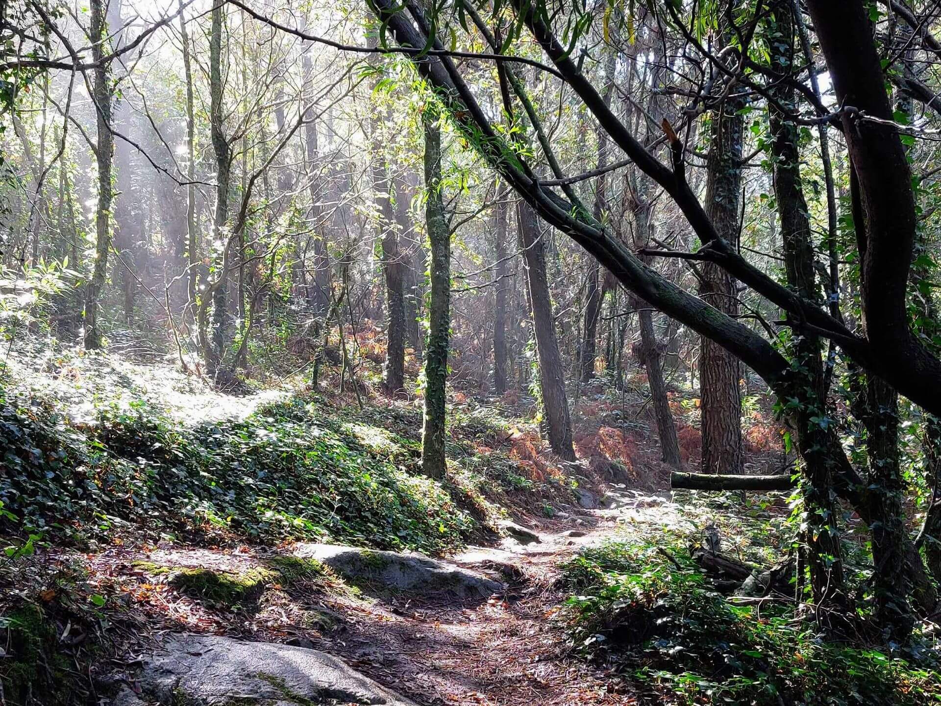
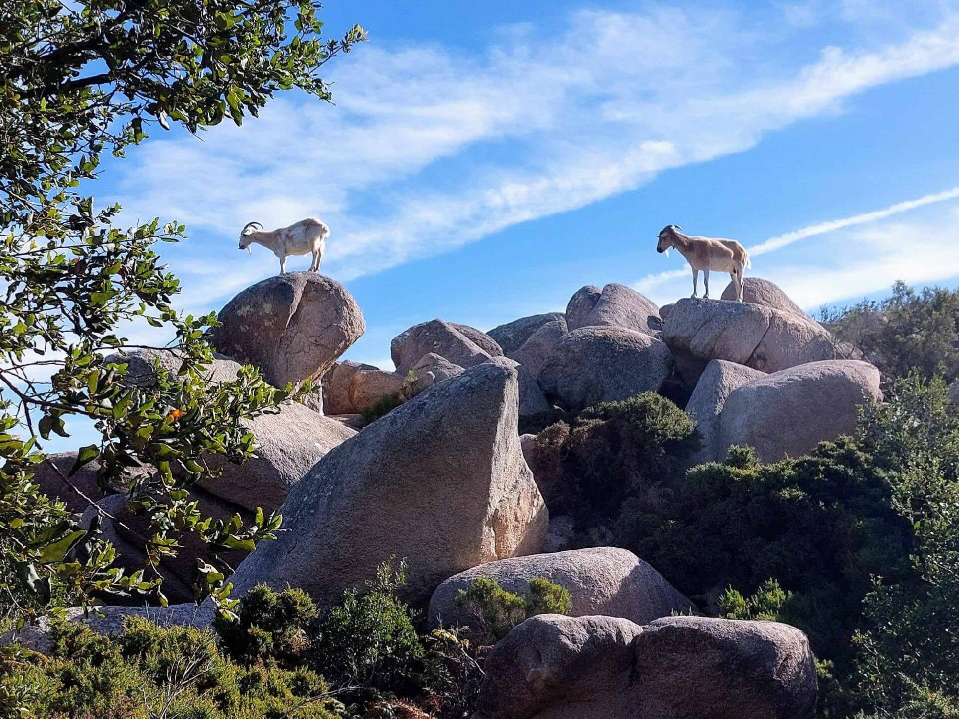
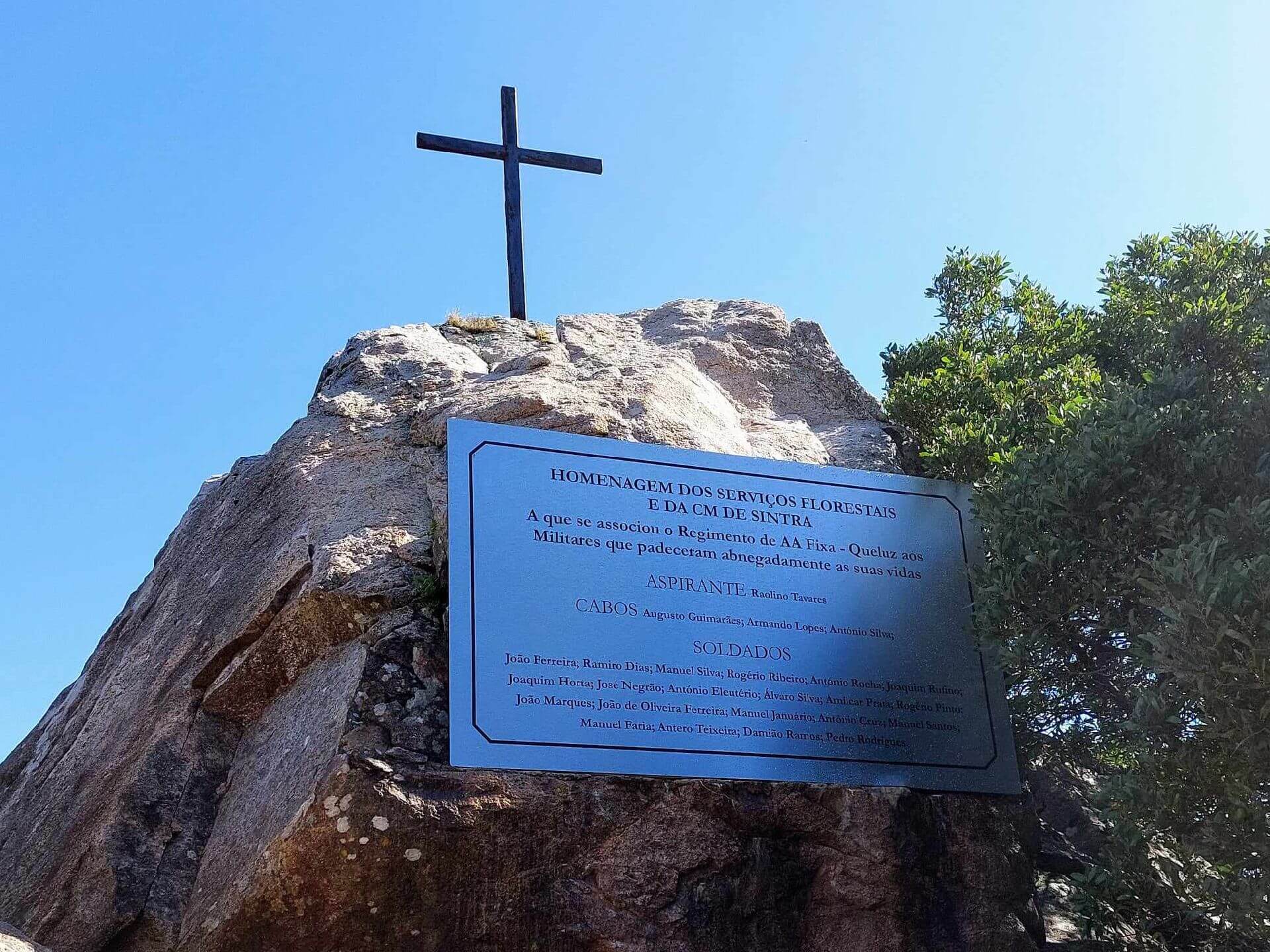
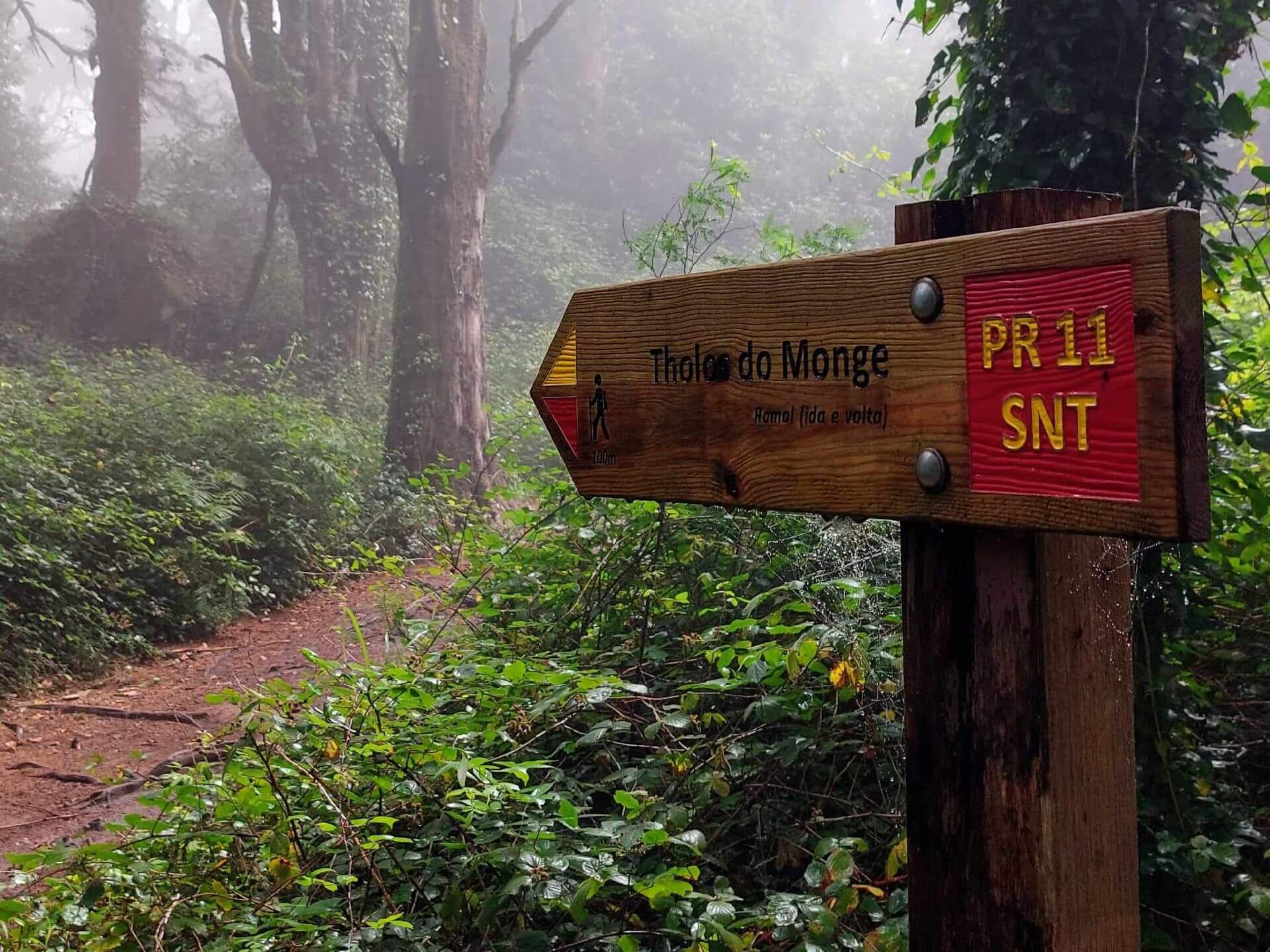
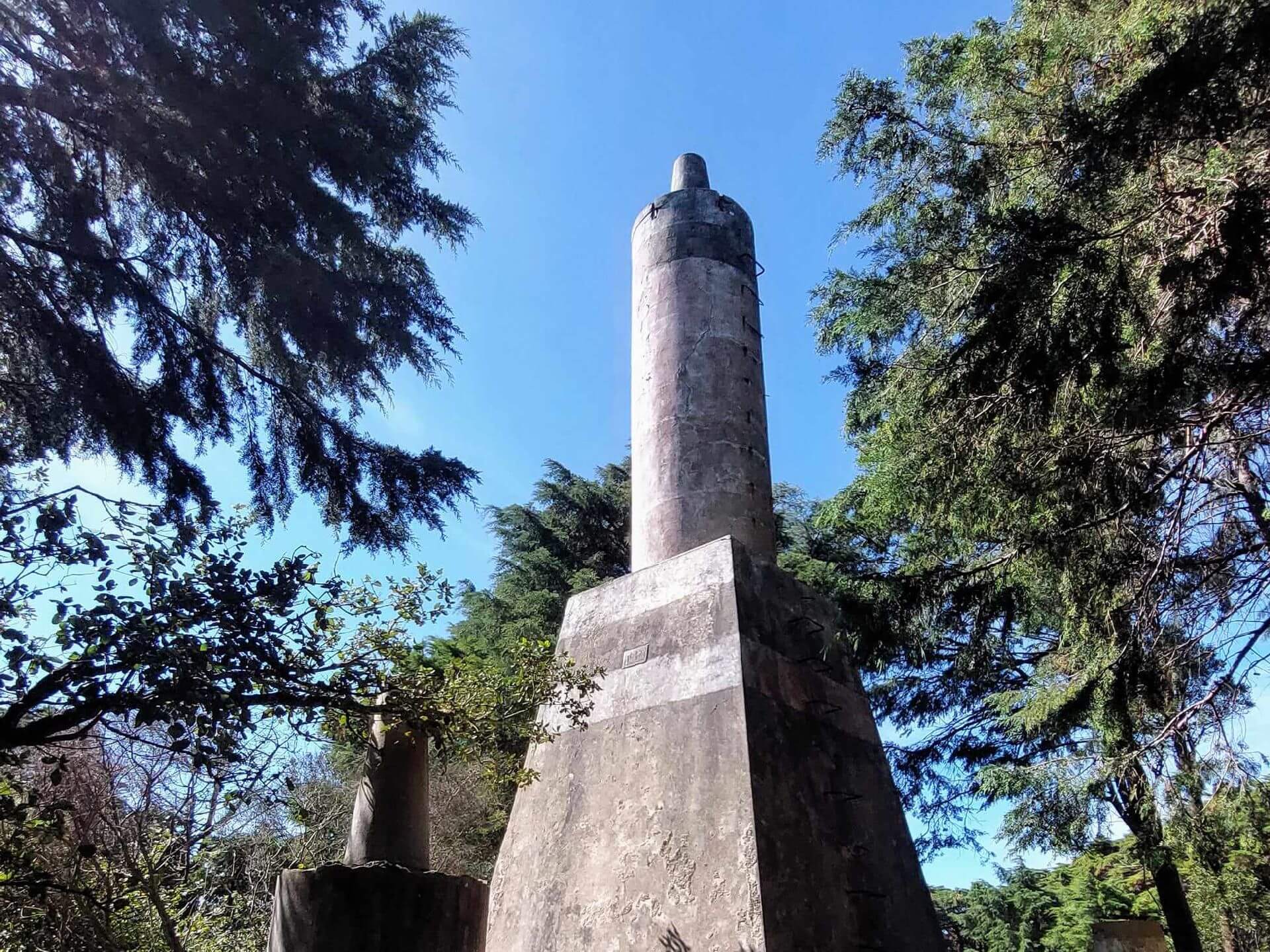
The walk follows trails of great natural beauty and scenic interest in the green immensity of the Sintra mountains and begins at the Rio da Mula Dam, crossing the Tapada do Saldanha on varied and challenging paths towards the Penedo do Carrasco. It then heads to the neighbourhood of Capuchos and from there to the monuments that commemorate the soldiers who died fighting the great fire of 1966. It then climbs the hillside, among acacias, pines and cedars, towards Alto do Monge, passing Alto da Memória and also tholos do Monge, after which it begins a long descent through Alto da Pedra Amarela, Penedo do Alvante and Campo Base da Pedra Amarela, to Casal de Porto Covo and Quinta do Pisão, from where it returns to the starting point. Another event not to be missed!
Tholos of the Monk
Taking advantage of a natural depression in the surface of the granite massif, which was artificially refined and covered with blocks of the same rock, the tholos has a plan consisting of an atrium, hall and chamber, with a false dome roof, and we can still recognise the beginnings of this structure. The atrium, irregular in plan (6.5 metres long and 6 metres wide), communicates with the circular chamber (4.5 metres in diameter and 3.5 metres high) via a rectangular corridor c. 1 metre long.
Alto da Memória
Alto da Memória was the name given by the Fire Brigade and the local population in honour of the 25 soldiers of the Queluz Infantry Regiment who died during the terrible fire of 1966 that decimated a large part of the Serra de Sintra. Today, in addition to this memory, it can also be used as a vantage point for observing the coastline and as another reason to take part in our walk.
Some of the points of interest on the walk
- Barragem do Rio da Mula - Tapada do Saldanha - Penedo do Carrasco - Capuchos - Alto da Memória - Tholos do Monge - Alto da Pedra Amarela - Penedo do Alvante - Campo Base da Pedra Amarela - Casal de Porto Covo - Quinta do Pisão - Natural landscapes -
Location
Meeting Point
Rio da Mula Dam car park
Municipal Road 1335 - Malveira da Serra
Latitude: 38°45'53.03″N
Longitude: 9°25'17.23″W
Meeting time: 9.30am
Estimated end time: 14h
Route Features and Equipment
Circular
Circuit
Equipment
Footwear and clothing suitable for hiking
RESERVE
REGISTER NOW
10€ per person
Includes:
- Guidance and support
- Personal accident insurance
- Civil liability insurance
Not included:
- All items not mentioned.
Comments:
- Only registrations made by 4.30pm on the day before the event will be eligible for Personal Accident Insurance.
- PLACES WILL BE FILLED WHEN PROOF OF PAYMENT IS RECEIVED
Data collection:
Personal information Name, date of birth and VAT number are required for personal accident insurance purposes.
Book:
After successfully submitting the bookingYou will be redirected to a confirmation page. If you have any difficulties making a booking, please contact contact us.
Registration Form
"*" indicates required fields