

August 2026
Event details




Event Description
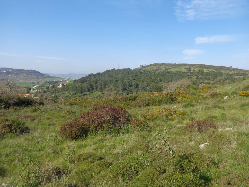
This walk takes place in the beautiful area of Calhandriz and its surroundings, where we'll have the opportunity to climb to the highest points and enjoy magnificent unobstructed views, whether over the Lezíria, the West or the Tagus estuary. Another event not to be missed!
Signal Fort
This fort had an irregular polygon plan. Built at an altitude of 316 metres, it was the most important stronghold in terms of defending Alhandra's position and was designed for a garrison of 400 soldiers, located in the Serra de S. Lourenço.
St Mark's Parish Church - Calhandriz
The original date of the church's construction is unknown, but there are traces of a Roman building (a carved tombstone from the Roman period) that may have existed on the site where the church stands today. In 1755, after the great earthquake that devastated the city of Lisbon and the surrounding areas (such as the Calhandriz Valley), work began on rebuilding St Mark's Church. Between 2001 and 2002, the church underwent restoration work, organised by the local parish.
Some of the points of interest on the walk
- Aldeia de Calhandriz - Igreja Matriz de S. Marcos - Forte dos Sinais - Fortes das Linhas de Torres - Adanaia - Mills - Natural landscapes -
Location
Meeting Point
St Mark's Parish Church
2615-623 Calhandriz
Latitude: 38°55'46.58″N
Longitude: 9° 3'51.23″W
Meeting time: 9h30
Estimated end time: 13h30
Route Features and Equipment
Circular
Circuit
Equipment
Footwear and clothing suitable for hiking