

August 2026
Event details








Event Description
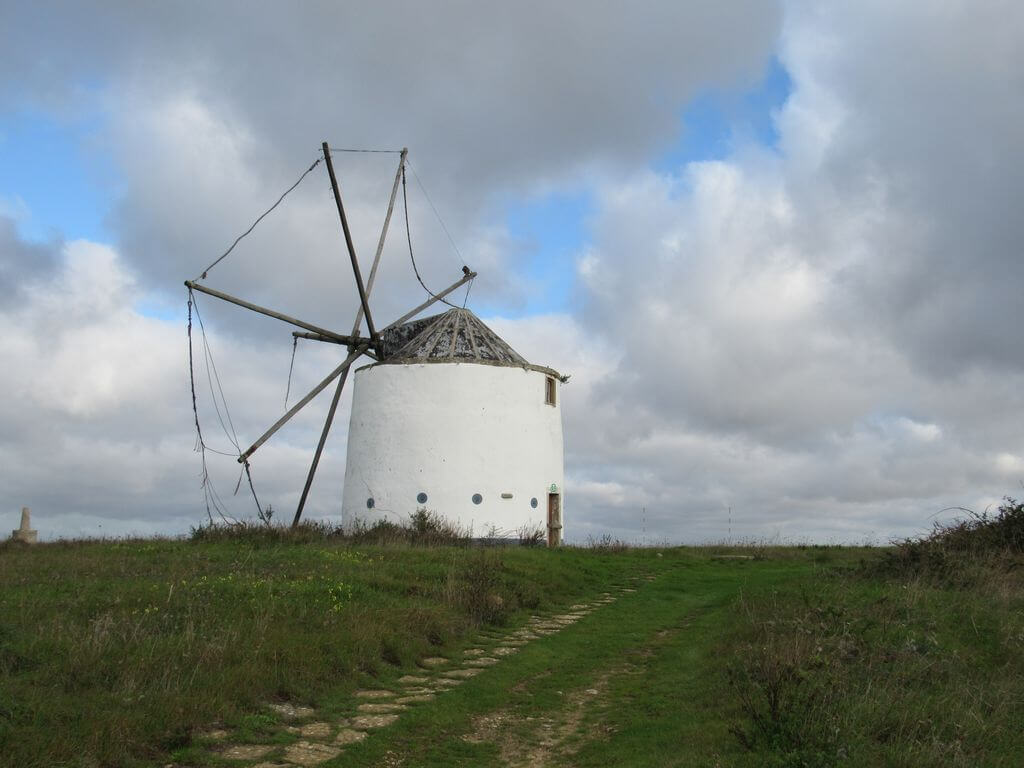
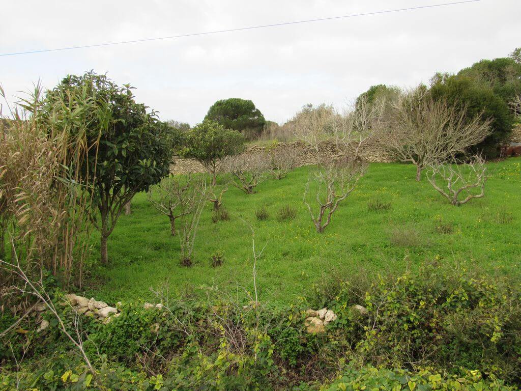
This proposed walk starts next to the Mother Church of São João das Lampas, and passes by the Calçada and Roman Bridge of Catribana, the village of Areias and Amoreiras, among many other points of interest, such as the characteristic dry stone walls that delimit the various agricultural plots, and the Mills at the start of our route.
The Roman Bridge of Catribana:
The Catribana Bridge, over the Samarra Stream, is located near the village of Catribana, in the parish of São João das Lampas, in the municipality of Sintra. This structure was part of an access to a main road or a secondary road linking two important Roman villages.
The bridge consists of a single arch and parapet, and has undergone various restorations and alterations over the centuries. On the south side of the bridge you can still see a stretch of Roman road leading to the structure, about 50 metres long, known as “Caminho do Castelo”.
On the left bank of the stream, traces of a Luso-Roman cemetery were also found, and on the right bank, interesting archaeological remains of a Neolithic settlement.
Some of the points of interest on the walk
- Mother Church of São João das Lampas - Bandstand - Windmills (São João das Lampas) - Samarra and Bolelas streams - Catribana Roman road and bridge - Amoreiras village - Areias village - Natural landscapes -
Location
Meeting Point
Car park next to the church and bandstand of São João das Lampas
R. da Anta 1, 2705-737 São João das Lampas
Latitude: 38°52’28.21″N
Longitude: 9°23’54.49″W
Meeting time: 9.30am
Estimated final time: 14h15
Route Features and Equipment
Circular
Circuit
Equipment
Suitable footwear, boots or shoes with good grip
Suitable clothing for hiking
Take at least 1.5 litres of water
Hat
Sunscreen