

July 2026
Event details






Event Description
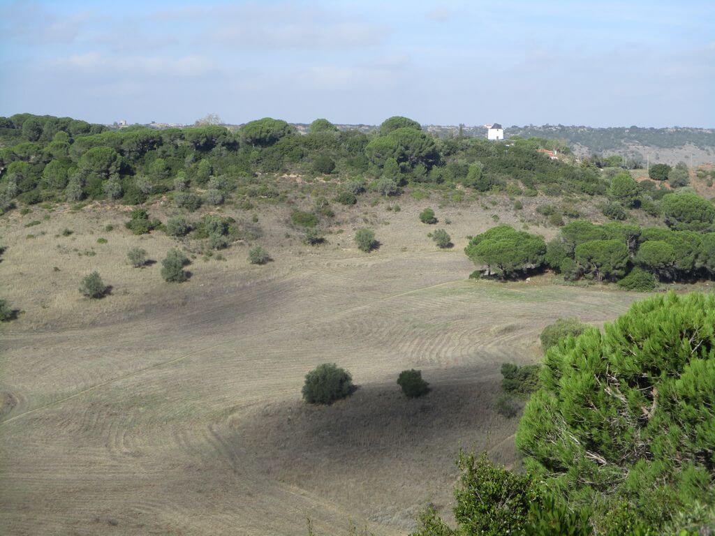
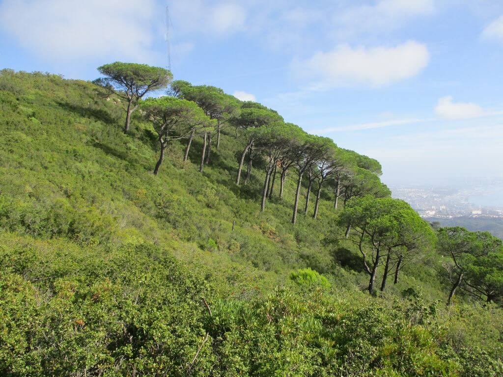
In this event we'll start our walk next to the Moinho da Páscoa, with unobstructed views over Palmela, Vale de Barris, the Serra dos Gaiteiros and Louro, with its characteristic windmills. We start our route down towards the valley, then follow the Alcube stream for a while, before bending down to start the ascent to the highest point of the Serra de São Luís, with its 395 metres of altitude, part of the municipality of Palmela and the Arrábida Natural Park. Between trails, as we near the top we'll be treated to breathtaking views over the Tróia Peninsula and the Serra da Arrábida, with Pico do Formosinho standing out. After reaching the lookout point we begin our descent, with the Sado estuary and the city of Setúbal and the emblematic castle of Palmela on the horizon, like a picture postcard. Another event not to be missed!
Serra de São Luís
It is known that since ancient times the Serra de São Luís has been occupied and used by human beings in a wide variety of ways, and that this presence has left its mark over time. The existing quarries are perhaps the most visible mark, and constitute a well-established "scar". The quarries were closed in the 1970s when the Arrábida Natural Park was created. These quarries were used to extract limestone, but also the famous "Brecha da Arrábida". On the southern slope there is also a hermitage of São Luís da Serra.
Some of the points of interest on the walk
- Moinho da Páscoa - Vale de Barris - Views over the Serra do Louro - Views over the Serra dos Gaiteiros - Vale do Alcube - Ribeira de Alcube - Serra de São Luís - Panoramic views over the Tróia Peninsula, Setúbal and Palmela - Serra da Arrábida - Torre de Vigia - Natural landscapes -
Location
Meeting Point
Near the entrance to the Easter Mill
Barris CCI 4316,
2950-055 Palmela
Latitude: 38°32'42.96″N
Longitude: 8°55'39.31″W
Meeting time: 9h20
Departure time: 9h30
Estimated end time: 14h
Route Features and Equipment
Circular
Circuit
Equipment
Footwear and clothing suitable for hiking