

March 2026
Event details







Event Description
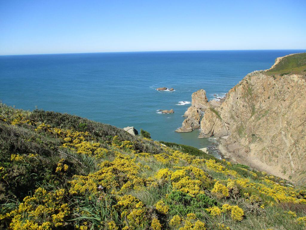
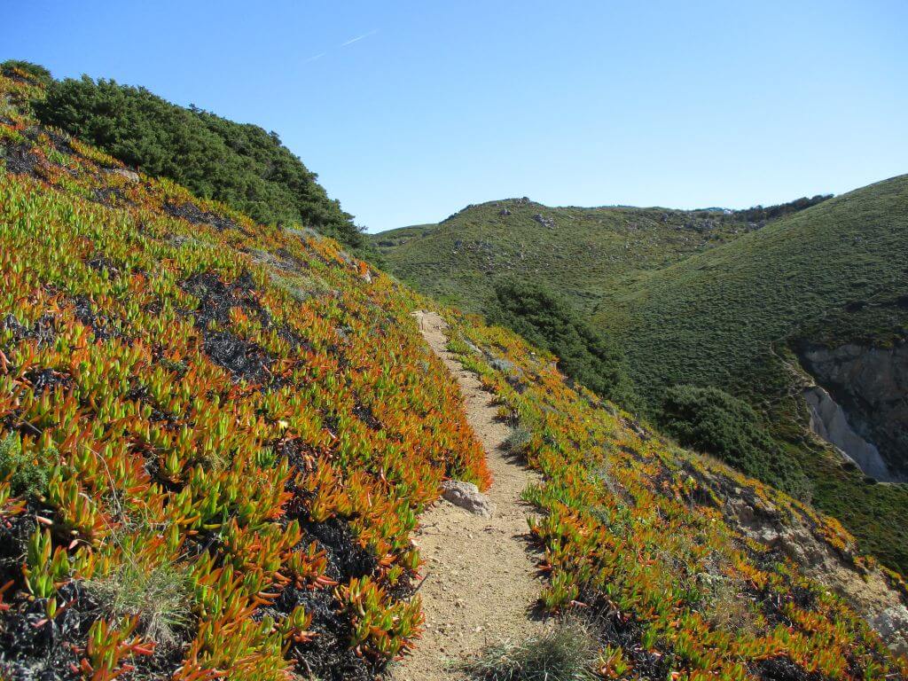
This walk will take you through some of the most secret corners of the coastal area south of Cabo da Roca and its imposing cliffs and valleys where physical dexterity is essential. We'll have the opportunity to visit the remains of the Fort of Nossa Senhora da Roca, and descend to Guincho Velho with its natural pools, where we'll make a well-deserved stop. Another event not to be missed!
Roca Fort:
This fort was built in the 17th century as a defence against pirates and privateers entering Lisbon. Located a little to the south of Cabo da Roca, it was called Forte da Roca or Forte da Nossa Senhora da Roca, or even Forte do Espinhaço. Today it's a ruin with nothing left but a small part of the walls.
The first known reference to this fort is a plan, dated 1692, from the Casa do Cadaval Archives, but the fort must have been built much earlier. According to Carlos Pereira Callixto, the fort was built by the Count of Cantanhede, D. António Luís de Meneses, at the end of the reign of D. João IV or of his two sons, D. Afonso VI or D. Pedro II. If true, the construction of this fort was part of a series of fortifications designed to protect the sea coast for the war of independence after the revolution of 1640.
Located in an area that was difficult to access, the fort fell into decay and, according to an inspector of the kingdom, was quite dilapidated by 1751. However, restoration work did take place because in 1777 the armoury was in good condition, with several pieces of artillery. Even with some more work at the beginning of the 19th century, by 1813 there were no guns left or the existing ones were old. In 1829 it was no longer mentioned in its military role, which led to it being abandoned.
According to the description in the 18th century, it was a small fort, with attached outbuildings for accommodation, a storehouse and a powder magazine. According to documents in the Torre do Tombo, the garrison consisted of 5 soldiers, 2 artillerymen and a corporal, with 4 iron pieces and 1 bronze piece.
Old Guincho Harbour
The harbour may have been used to support pirate activities. Pirates could have harboured there to wait for their prey and to get water and other supplies. At the end of the 19th century and up until the beginning of the 20th century, fishermen who were part of the Roca trap campaign were billeted in Porto Touro, fishing for sardines, which they supplied to the canning factories in the town of Cascais. The wall that can be seen on the beach dates back to that time, where there used to be a winch that, over the years, rusted and became inoperable - hence the old name of "porto do guincho" (winch harbour), as Porto Touro was also known, and was later renamed Porto do Guincho Velho (Old Guincho Harbour). It was already decommissioned in the 1970s when we visited the site. It would have been used to pull the boats from the Roca harbour ashore. From this period, a little further up the beach, next to the Biscaia road, there are the ruins of the Roca company's facilities, where, in the middle of the last century, there was still a tavern run by a couple to supply the fishermen who came there during the summer.
Some of the points of interest on the walk
- Guincho Velho harbour - Espigão da Ruiva - Nossa Senhora da Roca fortress - Azóia and Biscaia surroundings - Touro river valley - Natural landscapes -
Location
Meeting Point
Rua da Escola Nova
Cabo da Roca Road
2705-001 Azóia
Latitude: 38°46'21.32″N
Longitude: 9°28'36.28″W
Meeting time: 9h30
Estimated end time: 14h00
Route Features and Equipment
Circular
Circuit
Equipment
Footwear and clothing suitable for hiking