

July 2025
Event details


Event Description
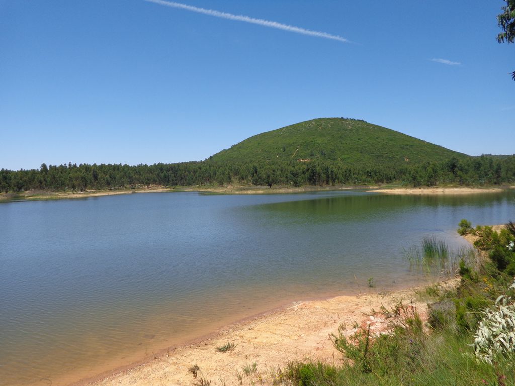
This walk starts next to the Mother Church of Ota, a parish in the municipality of Alenquer, so close to Lisbon, and which still preserves fantastic landscapes to discover. The route runs for 16 kilometres through the largest patch of forest in the municipality of Alenquer. Extensive forests of eucalyptus, cork oaks and stone pines cover a gentle terrain, where the hills hide small marshes, traces of another occupation of this extensive moorland. At the foot of Monte Redondo is the Chã Alta dam and a vast plain where the green is lost on the horizon, transporting us for a moment to other places. Not to be missed!
Ota:
It is believed that the place name Ota derives from the Arabic (uata) and means low place. In fact, it was a vast marshy field, the Paul da Ota, which King Sancho I donated in 1189 or 1193 to the convent of Alcobaça, a donation confirmed in 1195 by Celestino III. Here the monks carried out the first ploughing and drainage works in the country, which they later applied to the coutos of Alcobaça.
Ota is also the name of a river that runs through the parish. It rises in the Montejunto mountains, passes through the parish of Abrigada until it enters the latter, and flows into the right bank of the River Tagus, after also crossing the parish of Vila Nova da Rainha, in the municipality of Azambuja, for a total length of 30 kilometres.
The parish church, invoking the Divine Holy Spirit, is modest in design and is a reconstruction of an older church that collapsed in the 1755 earthquake. Today, some 17th century tiles, a Manueline font for holy water and a tombstone dating from 1567 remain from the original church.
Ota was crossed by the old Royal Road between Lisbon and Coimbra, built during the reign of King Maria I, which was used by the services of the first regular Malaposta railway line (1798-1804). There are still crossroads and mileposts from that time, located next to the Old Bridge, on Rua da Malaposta, at the entrance to Ota, and at the Vale Carlos site, near Ota. Both have been classified as a Property of Public Interest since 1943.
Half a century later, in 1855, Malaposta inaugurated a new daily train service between Carregado and Coimbra. The first animal changing station was located in Ota. The old station building was still in existence not long ago, and the Ota Clube was based there.
Some of the points of interest on the walk
- Ota Mother Church - Monte Redondo - Olhos de Água - Picnic Park - Chã Alta Dam - Serra de Ota - Cabeço do Pardal - Natural landscapes -
Location
Meeting Point
Largo da Igreja Matriz in Ota
Latitude: 39° 6’35.85″N
Longitude: 8°59’23.20″W
Meeting time: 9.20am
Estimated final time: 15h
Route Features and Equipment
Circular
Circuit
Equipment
Suitable footwear, boots or shoes with good grip
Suitable clothing for hiking (shorts are not recommended)
Take at least 1.5 litres of water
Hat