

November 2022
Event details


Event Description
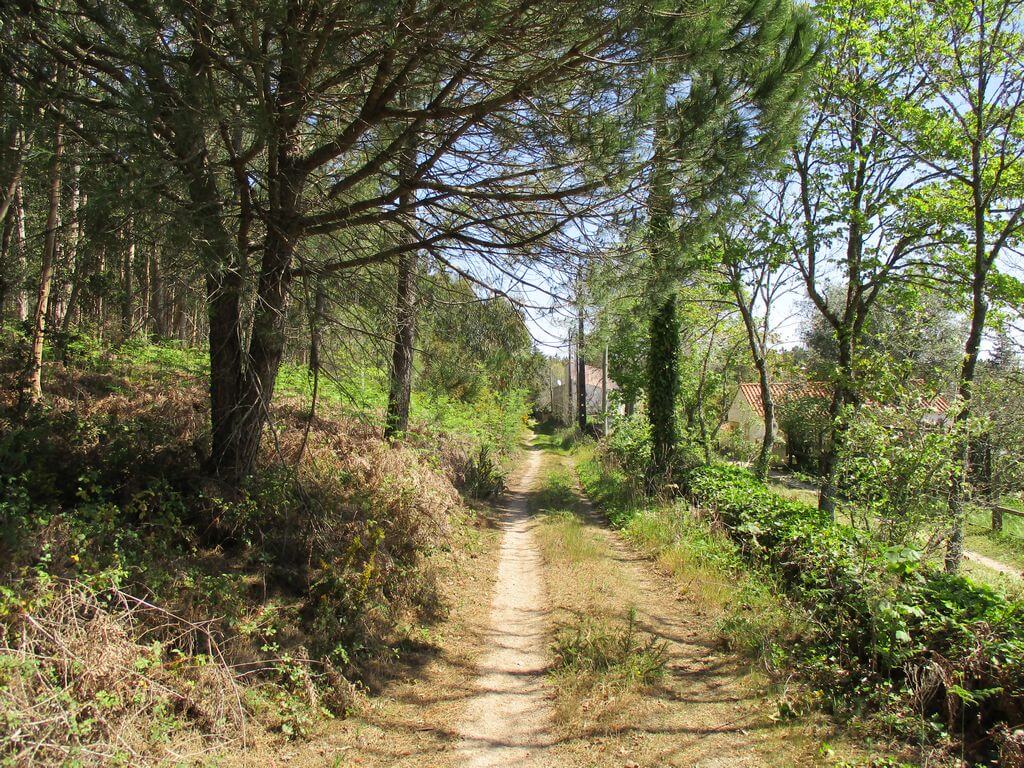
In this event, we're going to take a long walk along some of the hills in the municipality of Loures, especially the magnificent trails of Serra de Monfirre, Encosta da Saúde and Salemas, where we'll have the opportunity to see excellent panoramic views of the whole region. We'll walk along rural paths and trails, pass by Anta de Carcavelos and Gruta de Salemas, as well as the demanding climb to the top of Serra de Monfirre. Another event not to be missed, well suited to great hikers!
Monfirre
The village of Monfirre belongs to the parish of Santo Estêvão das Galés, in the municipality of Mafra. The village is located about 20 kilometres north-north-east of Lisbon and about 10 kilometres from Malveira. It has the particularity of being situated in one of the most rugged regions of the Municipality of Mafra, the valley where it is located is surrounded by the Serra de Monfirre and the Lapas hill. The village may be more than two thousand years old, as a Roman tomb has been found that attests to its age.
Carcavelos Dolmen
The Anta de Carcavelos is a megalithic mass grave made up of a polygonal burial chamber. It is located in a predominantly rural area of the parish of Lousa, near the village of Carcavelos and is one of the best preserved prehistoric remains in the municipality of Loures, partly due to its isolation.
The monument is made up of six limestone pillars from the region, five of which would be part of the chamber and the sixth would belong to the corridor. Next to the monument there are also some limestone slabs, one of which is large and could have been the dolmen's roof.
The studies carried out in 1994 resulted in the collection of a wide range of artefacts, including polished instruments such as arrowheads, plain and decorated ceramics, plates, ornaments and other artefacts.
Lousa Bridge
Near Ponte de Lousa, in the middle of the Serra da Carva, we'll pass Loca do Gato, a small cave in the escarpment called Penedo do Gato, above Ponte de Lousa and its river. It seems to have been occupied by humans and could still serve as a shelter today.
Some of the points of interest on the walk
- Anta de Carcavelos - Encosta da Saúde - Anta do Alto da Toupeira or Salema - Gruta de Salema - Belavista trail - Lapas trail - Besta trail - Antenas trail - Pego do Diabo trail - Penedo do Gato - Serra de Monfirre - Ponte de Lousa valley and stream - Natural landscapes -
Location
Meeting Point
Next to the Chapel of Ponte de Lousa
Joaquim Caetano Dias Street
Lousa Bridge
2670-351 LOURES
Latitude: 38°52'5.67″N
Longitude: 9°12'43.94″W
Meeting time: 9h20
Departure time: 9h30
Estimated end time: 16h30
Route Features and Equipment
Circular
Circuit
Equipment
Footwear and clothing suitable for hiking