

September, 2018
Event details




Event Description
The aim of this walk is to cross the municipality of Vila Franca de Xira, starting near the River Tagus and the mouth of the River Grande da Pipa and ending almost on the border with the neighbouring municipality of Loures, over a distance of 37 km, for true lovers of walking.
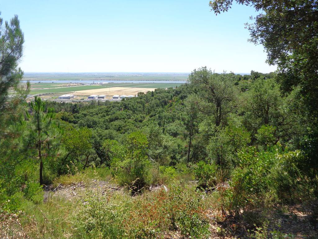
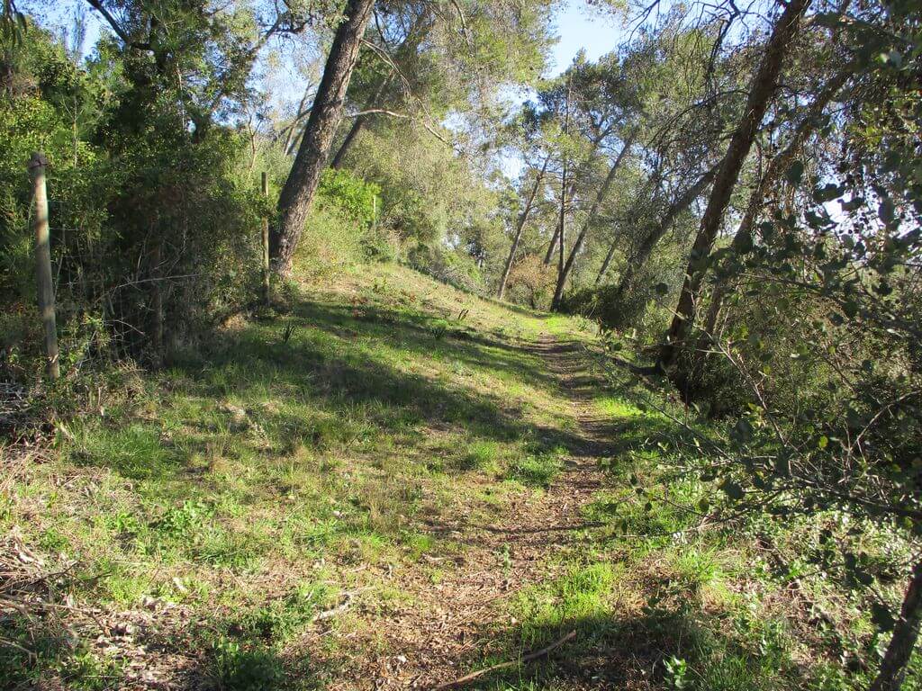
To whet your appetite, we'll show you some of the most emblematic crossing points on a route that takes in the riverside area, the mountains, viewpoints with fabulous views over the Lezíria, the mouchões and the Tagus estuary, as well as some of the forts of the Lines of Defence of Torres Vedras. With this walk we'll get to know some of the rural areas and dense forests that many people think don't exist in this municipality north of Lisbon. Another event not to be missed!
Important note: This is a linear route, and all participants need to work together to make it possible to be transported to and from the meeting point.
Some of the points of interest on the walk
- Vala do Carregado Picnic Park - Riverside area of the Tagus and Rio Grande da Pipa - Monte dos Castelinhos - Povos - Church of St John the Baptist - Subserra Mills - Fort of the Lines of Torres Vedras - Calhandriz - Serra da Aguieira - Monte Serves - Paraíso Wood -
Location
Meeting Point
Rua Olival Das Minas - Urbanisation Quinta Olival Das Minas, LOTE 5/6
2625-
Latitude: 38°51'59.09″N
Longitude: 9° 5'47.87″W
Meeting time for all participants: 8h
Start time of the walk: 8.30am (Carregado Ditch)
Estimated end time: 18h
Route Features and Equipment
Linear
Circuit
Equipment
Footwear and clothing suitable for hiking